Oakland morning fog coincides with High Surf Advisory as powerful swell hits Bay Area coast
Fog inland, hazardous surf along the Pacific
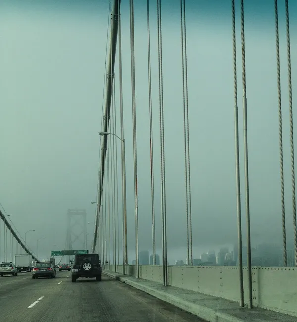
Oakland started Saturday, Feb. 7, 2026, under a low marine layer, with patchy fog reducing visibility in some low-lying areas and near valley corridors. While inland conditions were expected to improve as the morning progressed, the region’s main weather risk remained along the open coast, where a large northwest swell drove dangerous surf through Saturday night.
The High Surf Advisory that began early Friday remained in effect until 9 p.m. Saturday for Pacific Coast beaches from the coastal North Bay through the Peninsula and into Monterey Bay and the Big Sur coast. Forecast surf for west-facing beaches reached the mid-to-upper teens in feet at its peak, with occasional larger sets possible in the most exposed locations. The same advisory period also carried an elevated risk of sneaker waves and strong rip currents.
What the advisory means in practical terms
High surf advisories are issued when breaking waves and nearshore conditions create a heightened risk for beachgoers, including people who do not enter the water. The main threats during this event were sudden surges of water up the beach, powerful currents, and waves impacting rocks, jetties, and other shoreline structures.
Sneaker waves: larger-than-expected waves that can arrive between sets and run far up the sand, potentially knocking people down or pulling them seaward.
Rip currents: fast-moving channels of water that can carry swimmers away from shore, especially when surf is large and chaotic.
Localized erosion: repeated wave impacts can undercut sand and destabilize shoreline edges, particularly during high tide.
Coastal emergencies underscore the risk
The hazardous conditions coincided with multiple rescue responses along the Central Coast. Off Santa Cruz, a small boat capsized near shore on Saturday after being struck by a large wave, and all six people aboard were rescued and taken to a hospital. Separately, a search for two surfers reported in distress near the Santa Cruz Lighthouse on Friday evening was later suspended after an extended overnight operation produced no confirmed sightings.
What to watch next
As the advisory window ended late Saturday, surf was expected to gradually subside into Sunday, though lingering swell and cold water temperatures can keep nearshore conditions unpredictable. For Oakland and the East Bay, the marine layer pattern—fog in the morning followed by improved afternoon visibility—remained consistent with a coastal-driven setup, even as the most serious impacts stayed concentrated at west-facing beaches and headlands.
Public safety guidance for this type of event is consistent: avoid climbing onto rocks and jetties, keep a wide buffer from the waterline, and treat wave run-up as unpredictable even on seemingly calm stretches of sand.