Morning Mist to Midday Sun: A Seasonable Saturday for Oakland
A Tale of Two Skies
Oakland residents waking up this Saturday, January 24, 2026, will be greeted by a familiar winter sight: a thick blanket of morning mist and low-hanging clouds. According to the latest regional meteorological data, the East Bay is experiencing a calm start to the weekend, even as a powerful winter storm system moves eastward to cause disruption across the rest of the country. For those in Oakland, today offers a relatively stable and seasonable January day, perfect for local errands or a stroll through the hills, provided you plan around the shifting cloud cover.
Morning: Foggy Beginnings
The early hours of Saturday will see widespread patchy fog across the Oakland flats and the I-880 corridor. Visibility may be reduced during the morning commute, so drivers are advised to use caution and allow for extra travel time. Temperatures will start in the mid-40s, feeling crisp and damp under the overcast skies. This moisture is primarily due to marine layer infiltration and is not expected to translate into significant precipitation. By mid-morning, the dense fog is projected to lift, transitioning into a mostly cloudy sky before the sun begins to break through.
Afternoon: Clearing and Mild Peaks
As we move into the afternoon, Oakland will see a beautiful transition as the morning clouds give way to partly cloudy skies and intermittent sunny spells. Temperatures are expected to climb comfortably, reaching a daytime high between 62°F and 65°F. This is slightly above the historical average for late January, offering a mild window for outdoor activities at Lake Merritt or the Oakland Zoo. Winds will remain light to moderate, generally coming from the west, preventing the air from feeling too stagnant despite the high humidity levels remaining around 57% to 85% throughout the day.
Evening: Crisp Skies and a Sharp Chill
Once the sun sets, the temperature is forecast to drop rapidly. The evening will begin with clear to partly cloudy conditions, but as the night progresses, a new layer of clouds may move in from the coast. Residents should prepare for a chilly night, with overnight lows dipping into the low 40s, and some interior pockets of the East Bay potentially reaching as low as 40°F. If you are heading out for dinner or late-night events in Jack London Square, a heavy jacket is highly recommended to combat the sharp drop in temperature after dusk.
Alerts and Safety Notices
While Oakland remains largely unaffected by the severe winter weather hitting the interior United States, local authorities have noted a few key advisories:
- Beach Hazards Statement: A statement remains in effect for the broader Bay Area coastline. While Oakland is sheltered within the Bay, those heading toward the Pacific side should be wary of sneaker waves and strong rip currents.
- Precipitation: There is a near 0% chance of rain today, making it one of the drier days of the month. No flood or rain warnings are currently active for the city.
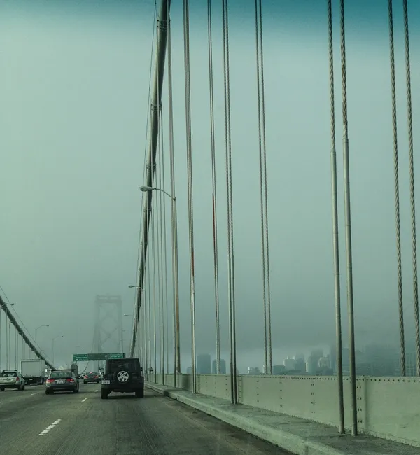
- Driving Safety: Patchy fog may return late tonight after midnight, potentially affecting visibility on the Bay Bridge and local highways.
Overall, Saturday, January 24, promises to be a classic Bay Area winter day—starting with the mystery of the mist and ending with the clarity of a cool, crisp evening.