Mist and Mild Highs: Navigating Oakland’s Layer-Weather Friday
A Cool Start to the Weekend
Residents of Oakland waking up this Friday, January 23, 2026, can expect a typical winter morning characterized by heavy cloud cover and a distinct chill in the air. As the sun rises, the temperature is hovering near the day's low of 47°F. Early commuters will likely encounter pockets of morning mist and fog, particularly near the waterfront and the Port of Oakland, which may slow down the early morning drive. Humidity levels are starting high at approximately 87%, making the air feel slightly crisper than the thermometer suggests.
Afternoon Outlook: Subtle Sun and Peaking Temps
As we move into the afternoon hours, the overcast conditions are expected to transition into a partly cloudy sky. While the sun may struggle to break through entirely, the cloud layer will thin enough to allow for a modest temperature climb. The forecast predicts a daytime high of 59°F, which is just slightly below the historical average for late January in the East Bay. Wind conditions will remain relatively calm throughout the day, with a gentle breeze coming from the west-northwest at approximately 5 to 7 mph. This lack of significant wind chill will make the afternoon pleasant for those taking a walk around Lake Merritt, provided they have a light jacket handy.
Evening Chill and Overnight Precipitation
As the sun sets this evening, temperatures will begin a steady descent back toward the upper 40s. The humidity will remain moderate, sitting around 65% for much of the evening. While the day has remained largely dry, weather models indicate an increase in cloud density after dark. There is a slight 20% chance of light, scattered showers moving through the region late tonight and into the early hours of Saturday morning. However, no significant accumulation is expected, and the total precipitation for the day is likely to remain at zero inches for the vast majority of the city.
Safety Advisories and National Context
While much of the central and eastern United States is currently grappling with the impacts of Winter Storm Fern, Oakland remains in a pocket of relatively stable weather. There are currently no active wind or rain warnings for the immediate Oakland area. However, residents should keep the following in mind:
- Coastal Caution: A general Beach Hazards Statement remains in effect for the broader Northern California coastline, so those heading toward the Pacific side should be wary of sneaker waves and rip currents.
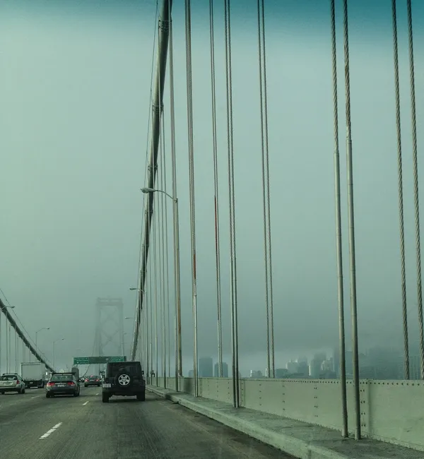
- Visibility: Patchy morning fog may reduce visibility on the Nimitz Freeway (I-880); drivers are encouraged to use low-beam headlights.
- Temperature Management: With a 12-degree variance between the morning low and the afternoon high, dressing in layers is the most effective strategy for staying comfortable throughout the day.
Overall, it is a quiet, overcast Friday for the Town—a perfect day for indoor activities or a brisk, cool outdoor excursion before the slight chance of rain arrives overnight.