Batten Down the Hatches: Intense Winter Storm to Lash Oakland with Heavy Rain and Gusty Winds
Powerful Storm System Arrives in the East Bay
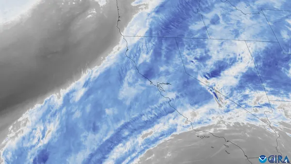
Oakland residents should prepare for a significant weather event today, Monday, February 16, 2026, as a potent winter storm moves through the San Francisco Bay Area. Local meteorologists and utility providers have issued warnings as this multi-phase system is expected to bring a combination of heavy rainfall, high winds, and coastal flooding risks throughout the day.
Morning: Overcast Skies and Developing Rain
The day begins with thick overcast conditions and temperatures hovering near 52°F. Light drizzle and scattered showers are expected to transition into steadier rainfall by the mid-morning commute. Residents are advised to allow extra travel time, as visibility may be reduced and early ponding on roads like I-880 and Highway 24 is likely. Winds will begin to pick up from the south at 10 to 15 mph, providing a precursor to more turbulent conditions later in the day.
Afternoon: Peak Intensity and High Wind Warnings
Conditions will deteriorate significantly during the afternoon hours as the heart of the storm passes over the East Bay. High temperatures will peak near 57°F, but the primary concern will be the wind and rain intensity. Forecasts indicate:
- Heavy Rainfall: Oakland is expected to receive between 0.5 and 1.5 inches of rain today, with the heaviest downpours occurring between 1:00 PM and 5:00 PM.
- Wind Gusts: A Wind Advisory is in effect, with sustained southerly winds of 25-35 mph. Isolated gusts in the Oakland Hills could reach as high as 50-60 mph.
- Thunderstorm Risk: A marginal risk of isolated thunderstorms exists, which could bring brief periods of small hail and intensified wind bursts.
PG&E has already pre-positioned crews across the region to respond to potential power outages caused by downed tree limbs and impacted electrical equipment.
Evening: Showers Tapering and Cooling Temperatures
As we move into the evening, the heaviest bands of rain will begin to push eastward, though light rain and intermittent showers will persist through the night. Temperatures will drop to a low of approximately 46°F. The threat of minor coastal flooding remains a concern during high tide for low-lying areas along the Oakland shoreline and the Embarcadero.
Safety Reminders and Advisories
A Coastal Flood Advisory remains in effect for the San Francisco Bay shoreline. Residents should secure loose outdoor furniture and trash bins to prevent wind damage. Drivers are urged to exercise extreme caution, especially when operating high-profile vehicles on the Bay Bridge or Richmond-San Rafael Bridge, where crosswinds will be most severe. Keep umbrellas handy and prepare for a wet, blustery start to the work week.